West Athens Neighborhoods: Space, Schools And Convenience
March 24, 2026
March 24, 2026
Craving a little more elbow room without giving up quick access to campus, parks, and everyday errands? West Athens gives you that balance. You can find larger lots, practical commute options, and a range of home styles across several distinct pockets. In this guide, you’ll see how Forest Heights, the Timothy Road corridor, and the West Broad area compare on space, schools, transit, and convenience so you can narrow your search with confidence. Let’s dive in.
West Athens stretches from the edge of downtown along West Broad/Atlanta Highway toward Loop 10. It blends established neighborhoods, newer subdivisions near the loop, and multifamily options along key corridors. County planning materials describe ongoing investments in greenways and connectivity that frame how the west side has grown and will continue to evolve. You can see that long-range picture in the county’s updated Greenway Network Plan.
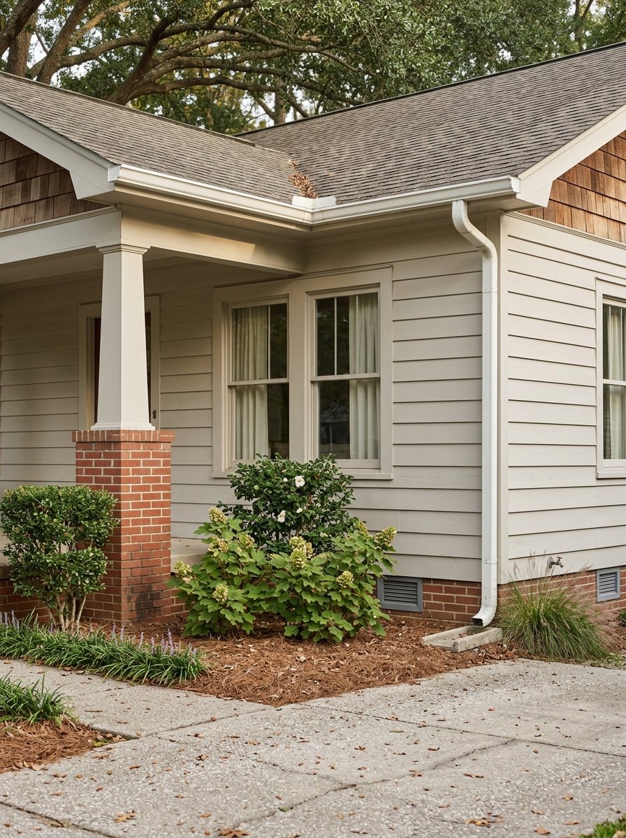
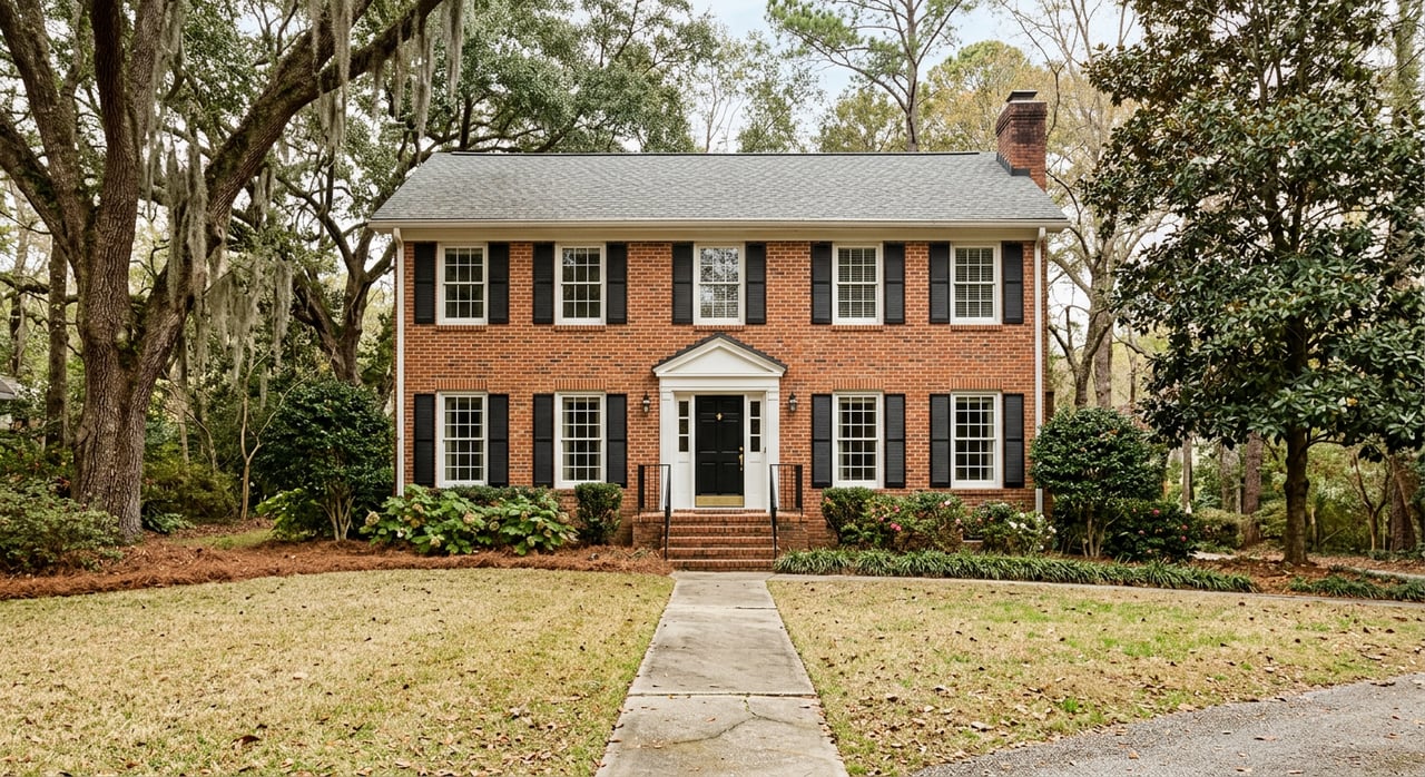
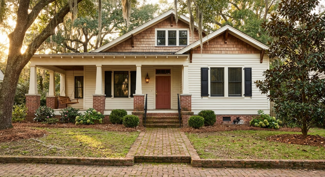
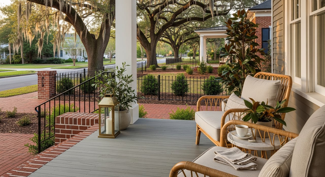
Forest Heights sits south of Oglethorpe Avenue around Forest Heights Drive, typically a short drive to downtown and UGA. Many streets feel settled and leafy, with wider yards than you’ll see in denser in-town spots. Homes are often mid‑century ranch or split‑level with periodic infill and full renovations.
Public school assignments vary by street. Some addresses list Oglethorpe Avenue Elementary and different middle/high pathways; always verify with the Clarke County School District. For commuting, Athens-Clarke County Transit’s west‑side Route 21 connects the area to the Multimodal Center and Atlanta Highway stops. You’re also within a few miles of county parks like Bishop, Walker, and Rocksprings for swim, sports, and play.
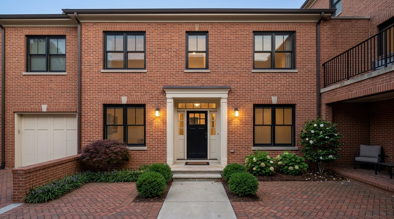
Timothy Road links Atlanta Highway toward Loop 10, with small subdivisions, townhome and condo options, and convenient access to major retail. If you like a mix of single‑family homes plus lower‑maintenance units near errands, this corridor delivers. A representative condominium community is the Terraces at Timothy.
Timothy Elementary sits on Timothy Road, and nearby addresses commonly feed to it, though assignments change by block. Confirm your address with CCSD. The county has funded upgrades to sidewalks and shared‑use paths in the Timothy Road Multi‑Modal Corridor, improving bike and pedestrian access over time. Transit riders can tap west‑side Route 21, and drivers reach Loop 10 and GA‑316 quickly for regional trips.
Closest to downtown, this cluster includes the West Broad corridor, the Rocksprings Park area, and parts of Hancock Avenue/Baxter Street. Blocks here vary in character, with a mix of small‑lot single‑family homes, multifamily properties, and community institutions. The county’s West Broad Initiative outlines ongoing neighborhood planning and revitalization efforts.
Recent public projects focus on safer walking and crossing, including the West Broad Pedestrian Improvements. You’ll be near Rocksprings Park, the West Broad Farmers Market programs, and public services. Major healthcare anchors like Piedmont Athens Regional on Prince Avenue are also within easy reach, which some residents prioritize for work or care needs. Explore the hospital’s local presence via Piedmont Athens Regional.
On the western edge of Athens, near Loop 10 and the Epps Bridge/Atlanta Highway retail node, you’ll see newer subdivisions, larger floor plans, and immediate access to big‑box retail and grocery options. Many households here choose the area for straightforward highway access and convenience. If you commute regionally or prefer newer construction, this pocket is worth a look.
Clarke County School District administers public schools across Athens-Clarke County, including elementary, middle, and the two traditional high schools. Representative elementary schools for West Athens pockets include Timothy Elementary and Oglethorpe Avenue Elementary, with Burney‑Harris‑Lyons or Clarke Middle commonly appearing for middle grades and Clarke Central or Cedar Shoals at the high school level. Zones shift by street and can change over time, so always verify assignment for a specific address at the CCSD website.
For after‑school and weekend plans, the county’s Leisure Services system offers a strong parks network with pools, fields, and programs. Popular options on the west side include Rocksprings, Bishop, and Walker. Browse facilities, hours, and programs via Athens‑Clarke County Parks and Recreation.
West Broad/Atlanta Highway is the primary east‑west corridor out of downtown, with Loop 10 providing fast access to GA‑316 and other regional routes. Many addresses in Forest Heights and the Timothy Road area sit roughly 3 to 6 miles from UGA and downtown, often a 6 to 15‑minute drive off‑peak. Your actual time will depend on your exact street and traffic.
Public transit is a real option for some trips here. ACC Transit operates a fare‑free system, and Route 21 serves west‑side stops from downtown to Atlanta Highway and nearby neighborhoods. If walking and biking matter to you, keep an eye on county investments along Timothy Road and West Broad that continue to close sidewalk gaps and improve crossings.
Game days change the rhythm. UGA home football weekends shift traffic patterns, parking, and even grocery runs. If campus proximity is important, test your commute at different times and review official event guidance from Georgia Bulldogs Gameday.
Across West Athens, you’ll find a broad mix of homes and lot sizes compared with denser in‑town neighborhoods. Many established streets, such as those in Forest Heights, feature mid‑century ranch or split‑level homes, often brick, on lots that commonly range from about a quarter acre to a half acre or more. Renovations and thoughtful updates are frequent, and you’ll see full remodels or infill homes sprinkled throughout.
Closer to commercial corridors like Atlanta Highway and Timothy Road, townhomes and condos provide lower‑maintenance living with strong access to retail and services. Condo buyers can explore communities such as the Terraces at Timothy to get a feel for layouts and amenities. Farther west toward Loop 10 and Epps Bridge, newer subdivisions often offer larger floor plans on suburban lots with quick highway access.
Pricing varies with renovation level, lot size, and proximity to downtown and campus. If you’re weighing your options, pair on‑the‑ground tours with a close look at recent comparable sales to understand value by street and condition.
Ready to align your short list with your lifestyle and budget? Reach out for a neighborhood‑first strategy, curated tours, and data‑driven guidance from a local who knows the stories behind the streets. Connect with Alissa Carrier for a warm, high‑touch approach and a plan that fits you.
Stay up to date on the latest real estate trends.